To understand what a poorly planned ordeal I’d set myself up for, you should read a bit about the Conservation Area I went to…
https://mdc.mo.gov/discover-nature/places/current-river-conservation-area
And view the map…
https://mdc.mo.gov/sites/default/files/mo_nature/downloads/conservation-areas/9515map.pdf
For whatever reason, when I punched into Google Maps (on my iPhone) to navigate me to the Current River Conservation Area, it gave me turn by turn directions to the shooting range. This was just dumb luck. I drove through thick woods, thick woods, and more thick woods, until suddenly there was a huge clearing, and the phone said “You’ve arrived!” It was a perfect view of the sky.
However, the other side of the coin is that it was many turns crawling slowly through the woods on narrow trails with the truck in 4WD because otherwise it was too squirrelly on some of the steeper gravel trails. I had no chance of knowing how to back-track out. But no matter, right? Google Maps will know how I got here, and will guide me back out.
Before I started setting up, I needed to pee…
Amidst my setup, I took a moment to talk about what a nice drive it was to get down there.
OK, let’s get serious. We want to get a WSPR station running well before the Eclipse starts, so let’s get our stuff hooked up and running. But the eGO Nexus Power Station would not power up the outlets.
It did work after I removed all four batteries, then started it with only one dropped in. Then added a 2nd, 3rd, & finally the 4th. All fine. No explanation. I have to assume it just needed a full reboot, and the only way to do that is to pull off the last battery.
I then realized, oh crap, I didn’t make a note of the POTA entity ID for this park, when I’d looked it up at home on Saturday evening or Sunday morning. I’ll just fire up a browser on my phone and go to https://pota.app and look it up again.
No Service.
Well, no biggie. I’d been monitoring the Maritime Mobile Service Net for several hours over the last two days. I was tuned to them at the moment. The Net Control OP right now was coming in strong, and has nothing truly important to do. I called and asked if he could help me find the POTA number. He said I should Google it. I repeated, “Yeah, but I have No Service. No Service.” He says, and I quote, “Oh, shoot, yeah, you said that, didn’t you? OK, well it’s almost the top of the hour, and another Net Control will be coming on. I’ll look it up, and in about 10-15 minutes when he calls for General Check-ins, I’ll come back with that info.”
Fine. Great. Go set up camera shit, listening to the HF Radio while I’ve got all the doors and windows open.
I hear them get to that point. I hear several guys talking about me and confusion on the exact name of the park, yadda yadda. I cannot hear the current Net Control Op, but I hear many people talking to him. So I break in to let them know this, and thank them for the assistance. I have the number. And if it’s wrong, it’s wrong, it’s no big deal. First shot at POTA anyway. But really, thank you all. 73!
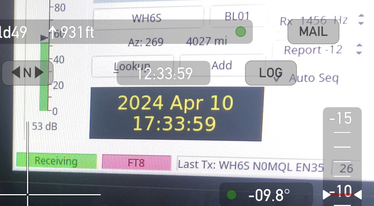
Got WSJT-x up and running, and set the FT-991a to 100W, hit the “Tune” button on the app, and dialed back the “Pwr” slider until the indicated output was a bit left of the half-way point between 0 and the first tick-mark (that 1st tick is 5W). So I’m inaccurately set for 2W. Then, dial the power output on the radio all the way down to 5W. Or, 1/20th as much PA available. 2W divided by 20 should be 100mw, right? Or something in that neighborhood. Hey, we don’t all have bench service monitors with us out in the field. Close enough for amateur hour. Take note of how many dB on the slider that is (and for pete’s sake, I wish they would just show that setting all the time, instead of only when I’m holding the mouse button on the slider – that is fucking stupid UX bullshit). Then set it up for transmitting for real, and as soon as it starts to transmit, grab the Pwr slider and drag it down to the same dB setting as had been used in Tune mode. Good. It’s set. Put laptop on the dash, and go do Eclipse Photography.
A half an hour or so goes by, doin’ photography shit. Pardon the pun, but I thank my lucky stars that I also did plenty of just standing there, in a gravel parking lot, not another soul within sight or earshot, taking it in. It was awesome. I cried a little.
I noticed as it was getting lighter just post-totality, the truck was surrounded on the leeward side by a cloud of these tiny Mayfly-looking things. They all face the breeze. No choice. They have to flap their li’l wings as fast as they can just to do anything other than blow where the breeze would push smoke. These are some of the things that always appear near lights late in the evening, if it’s calm. I presume they were attracted by the light of the laptop screen on the dash.
OK, so the celestial photography stuff is done. Take all that junk down and pack it in the truck. Time to prepare for a POTA activation attempt.
Grab the laptop off the dash. I must’ve bumped something, because the “Pwr” slider is all the way to Max. This thing’s been screaming along at 5w all this time. Dammit!
Well, let’s see what all I’ve received on 20m WSPR while I was shooting pictures… none. What? What the actual hell? Oh, shit. I forgot that this laptop does ntp whenever I’ve got WiFi, even if that’s through my iPhone as a hotspot. But I didn’t do that. Because, again, No Service.
And I didn’t even think about it, ‘cuz I wasn’t just getting ready to do FT8. Preparing to do FT8 is when I think about the computer’s clock. And its clock was way the fuck off. I tuned in WWV on 15MHz and got it set close enough.
Made a POTA contact on FT8.
Could not figure out how to get TX4 to be RR73. I always do RR73 and not RRR. Whenever I see the other station is doing RRR, I know they’re a noob dilweed and hate them a little. But can I find where in that shittily-organized pile of settings is the thing to shut RRR the fuck off and instead use RR73 so each QSO is at least 25% more efficient? Hell no, I cannot find it.
Wrestling, swearing, irritated as fuck. I see there’s at least 2 or 3 stations calling me after that one pair of CQ POTA rounds. I answer a couple of them, mortified that I’m sending them RRR like it’s my first goddamned day out of short pants. But I don’t call again, ‘cuz not only is the RRR-vs-RR73 thing not sorted, but I see the DT has drifted again. I’m almost 2 seconds off the average of the crowd that I can hear.
Back to WWV, and setting the laptop’s clock manually. I get it within 1/4 second easily. Then I watch the WSJT-x clock drift around while comparing it to Theodolite’s clock (which is my iPhone’s clock, aided by its GPS signal, I imagine).
I mean, it drifts around a lot, and far too quickly. Something’s absolutely amiss with this laptop’s internal clock, and it is not useful for any synchronized-timing digital modes. It works fine while it’s on the network and ntp can keep the clock in check. But out afield? No way. Useless.
This is when I decide I’ve learned enough hard lessons for the day. It’s time to pack it in and head back to the Hipcamp where I’m staying while in Missouri.
Takes me maybe 20min to get things tucked snugly enough to safely lumber along those same rough, steep trails to get back out whence I came. Thought I could kinda “feel my way back” the way I came in. But no. I get to an intersection of trails that I’ve no guess at all which way I might’ve been.
It’s been a long time, possibly a decade, since I last was in some place that I got to with Google Maps, and then had No Service, and had to just follow the back-track dots on the map because I can’t ask the server to give me turn-by-turn. But you know, follow the dots is not that hard. It just requires going slower, and glancing at the screen frequently.
No dots. When did Google Maps stop drawing dots on where you’d been? Probably years ago.
Also, no map. Like not at all. When did Google Maps stop downloading the local area maps to your phone as you’re going along, so that if you lose service, you still have a goddamned map? Fuck. Blank screen from Google Maps, and No Service.
Drive along the trail to a high spot. See if there’s service. I get to a hill top, and I have one bar. Try to get directions from Maps. No luck. One bar ain’t enough.
Take phone out of truck cupholder charger-mount. Stand on step-side and hold phone as high as I can over truck roof. Two bars. Try the “directions” button again. No luck. Server not responding. Well, shit, of course, there’s a million people in this little mobile phone coverage area all trying to get directions back home. It’s being inundated.
Keep driving in the direction I think feels right, get to another hill top. Try again. Same story. Repeat this about 3x, but with the trail between hill tops getting worse and worse. Steeper. Trees encroaching more, knocking mag-mount antennas over. Some spots where storm runoff has dug a trench through the trail. Serious 4WD Low-Range shit going on.
I was out there for a little over an hour. Twice, had to back up a couple hundred feet on some rough trail, just to get to someplace I could turn around in a 12-moves maneuver. It was pretty awful.
Took mental stock of what all I have with me. Could I survive a night in the truck if I had to? I’ve got about 12oz of ice in my drinking thermos, and about 10 beef sticks left. Half a tank of gas. Two lighters. Hasn’t been rainy – in fact I was more worried about the exhaust starting a wildfire than I would be about being unable to get a campfire going.
For about the 7th time, got to a hill top to re-try Google Maps. I had decided as I was driving up that hill that if it didn’t work this time, I was going to call mayday on 14.300MHz. I knew there was someone out there who could find a way to help me. Contact the Conservation District folks. Or a Sheriff. Or even just someone who had mutual Q-5 copy with me to QSY to a clear freq, look at the map on the internet, take my Lat-Lon and bearing from Theodolite, and figure out what trail I was on (they’re numbered at almost every intersection), and tell me which way I needed to go, and which way to turn at the next crossing.
I had already tried 146.52 from a couple of the hill tops. A local would be a better way to go, if possible. But honestly, knowing that the MMSN was still going to be out there for another six hours was all the reassurance I needed to stave off panic.